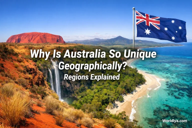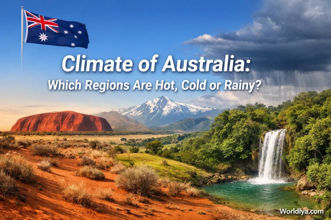
Australia does not have one neat, single climate. It has several climate personalities living side by side. The far north runs on tropical heat and a clear wet season / dry season rhythm. The interior is famously dry. The south is milder, and the highest country can turn properly cold in winter. So, is Australia hot? Often, yes. Is it rainy? In some regions, very much so. Is it cold anywhere? Also yes — especially in Tasmania, the tablelands, and the Alps.
Australia’s Climate in One Plain-English View
Hot Regions
The Top End, Kimberley, Cape York, and much of the interior carry the strongest heat signal. Darwin’s annual mean maximum temperature is 32.1°C, while Alice Springs sits at 28.9°C.
Cold Regions
Tasmania, the southern highlands, and the Australian Alps are the coldest parts of the country. Perisher Valley’s July mean minimum drops to -5.0°C.
Rainiest Regions
The tropical north Queensland coast, the Top End in the wet season, and western Tasmania collect the heaviest rain. Cairns averages 2,025.5 mm a year.
Why Australia Has So Many Climate Types
Australia’s weather map makes more sense once you stop looking at it as one block of land and start reading it as a set of overlapping influences. The national climate classification used by the Bureau of Meteorology sorts Australia into six major climate classes and 28 subclasses. That alone tells you how varied the country is.
- Latitude matters. Northern Australia sits closer to the tropics, so it receives stronger sunlight through the year.
- The subtropical ridge dries the centre. Descending air and stable high pressure help make inland Australia much drier than many first-time readers expect.
- The monsoon changes the north. When the monsoon trough moves over northern Australia, cloud and heavy rain arrive fast.
- The oceans do not behave the same on both sides. The east coast is influenced by warmer waters, while the west coast is shaped by cooler waters. Places at similar latitudes can feel surprisingly different because of that.
- The Great Dividing Range reshapes rainfall. It helps extend temperate conditions along parts of the east and boosts rain where moist onshore air is forced upward.
- Altitude cools the high country. Even without a polar climate zone, Australia’s uplands can still be cold, frosty, and snowy in winter.
A useful mental map: north = hot with summer rain, centre = hot and dry, south = milder with cooler winters, high country = coldest.
Where Australia Is Hottest
Tropical North
The tropical north stays warm for most of the year. Darwin is a clear example: its annual mean maximum temperature is 32.1°C, and its annual rainfall is 1,736.8 mm. The twist is timing. Roughly 93% of Darwin’s average yearly rain falls from November to April. In June, July, and August, average rainfall is tiny: 1.7 mm, 1.1 mm, and 4.5 mm.
That sharp swing is why the north can feel like two different worlds in one year. One part is steamy, stormy, and lush. The other is bright, dry, and much more settled. The Top End, the Kimberley, and far-north coastal Queensland all follow this broad rhythm, though each has its own local spin.
The Interior and the Red Centre
The interior is the other face of Australian heat. It is not tropical-humid heat. It is dry inland heat, shaped by distance from the sea, stable high pressure, and a huge arid core. Alice Springs averages an annual mean maximum of 28.9°C but gets only 283.8 mm of rain a year. That number tells the story better than any adjective could.
Geoscience Australia identifies Lake Eyre as the driest area, with only 125 mm of average annual rainfall. So when people think of the classic red-earth Australian image, they are usually picturing a real climate pattern: very warm to hot temperatures with low, irregular rainfall.
Where Australia Feels Cold
Southern Coasts and Tasmania
Australia has no official polar climate zone, yet parts of the country still feel cool or cold for long stretches of the year. Tasmania is the clearest low-altitude example. In Hobart, the annual mean maximum temperature is 17.6°C, the annual mean minimum is 8.2°C, and average annual rainfall is 495.0 mm.
That is a very different climate story from Darwin or Cairns. Summers are milder. Winters are cooler. The air often feels more maritime and less extreme than the desert interior. Southern Victoria and the elevated parts of New South Wales and the ACT also pick up cooler winters, especially overnight.
The Alps and Highlands
The coldest regular climate conditions are found in the Australian Alps and nearby high country. Perisher Valley averages a July mean minimum of -5.0°C, and its annual mean maximum temperature is only 10.6°C. That is cold by Australian standards, and it is why the alpine belt supports winter snow sports and frequent frost.
If you want a simple rule, use this one: the farther south you go, and the higher you climb, the cooler Australia gets. Latitude sets the broad pattern. Elevation sharpens it.
Where Australia Is Rainiest
Tropical North Queensland
The rain champion is not the desert interior, the south, or the big capitals. It is the tropical north Queensland coast, especially where moist trade winds hit the Great Dividing Range. Geoscience Australia lists Bellenden Ker in north Queensland with a highest median annual rainfall of 7,950 mm, and a highest annual rainfall total of 12,461 mm in 2000.
For a lived-in city example, Cairns averages 2,025.5 mm of rain a year, with an annual mean maximum temperature of 29.1°C. About 82% of its average yearly rain falls from December to April. January, February, and March alone average 404.8 mm, 437.5 mm, and 422.1 mm.
The Top End Wet Season
The north is not just hot. It is seasonally wet in a very concentrated way. During the wet season, monsoonal cloudbands, tropical lows, and coastal humidity can push rainfall totals up quickly. That is why the same northern region can look dusty and sun-baked in one part of the year, then green and water-fed in another.
Western Tasmania
A lot of readers are surprised by this one. Western Tasmania is one of the wettest parts of Australia. It is not tropical, but it is very rainy. The Bureau’s climate statistics for Erriba (Cradle Mountain Road) show 1,594.3 mm of average annual rainfall and 156.2 days a year with at least 1 mm of rain. That is a wet climate by any Australian measure.
So if someone says Australia is dry, the fair reply is: parts of it are very dry, but not all of it. Western Tasmania sits far away from the usual desert stereotype.
The East Coast and the South-West
The east coast often gets more evenly spread rainfall than people expect. Sydney averages 1,211.1 mm a year, and even its driest average month still gets 68.1 mm. That is not a classic dry-summer pattern.
The south-west of Western Australia is different again. Around Perth, rain falls mainly in the cooler months. Perth averages 718.5 mm a year, and about 79% of that arrives from May to September. That is a clean winter-rain signal, much closer to a Mediterranean-style rhythm.
Representative Climate Data by Region
| Region / Example | Annual Mean Max | Annual Rainfall | What It Tells You |
|---|---|---|---|
| Darwin | 32.1°C | 1,736.8 mm | Hot all year, with a sharply defined wet season. |
| Cairns | 29.1°C | 2,025.5 mm | Very wet tropical coast; rain piles up in summer. |
| Alice Springs | 28.9°C | 283.8 mm | Classic inland dry climate with low, uneven rainfall. |
| Perth | 24.9°C | 718.5 mm | Dry summers, rainy winters. |
| Sydney | 21.8°C | 1,211.1 mm | Humid east coast climate with rain in every season. |
| Hobart | 17.6°C | 495.0 mm | Cooler southern maritime climate. |
| Perisher Valley | 10.6°C | — | Australia’s coldest settled alpine conditions sit here, especially in winter. |
| Cradle Mountain Road | 13.1°C | 1,594.3 mm | Cool and rainy; western Tasmania breaks the “Australia is dry” stereotype. |
The Seasonal Pattern Most People Miss
If you only sort Australian climate into hot, cold, and rainy, you still miss an important layer: when the rain falls matters almost as much as how much falls.
- North: summer-wet and winter-dry.
- Interior: low rainfall overall, with irregular timing.
- East Coast: rainfall can arrive in every season, often without a hard dry month.
- South-West: winter-rain pattern, dry summer pattern.
- Tasmania and the far south: cooler temperatures and frequent rain, especially in the west and uplands.
This matters because two places with similar yearly rainfall totals can still feel very different. A city that gets rain in many months behaves differently from a city that receives most of it in one season and then turns dry for the rest of the year.
What Often Surprises First-Time Readers
- Australia is not uniformly hot. A tropical map of Darwin tells you almost nothing about Perisher or Tasmania.
- The rainiest zones are coastal and topographic. Moist air, mountain lifting, and exposure to ocean weather matter a lot.
- The dry centre is huge. That inland dry signal shapes the country’s climate image more than any other region.
- Similar latitudes can act differently. East and west coasts do not share the same ocean influence.
- Snow is real in Australia. Not everywhere, not for half the country — but very real in the Alps and high elevations.
A Simple Way to Read the Map
Start at the tropical north, move into the dry interior, then finish in the milder south. After that, add two modifiers: coast and elevation. Coastal exposure can lift rainfall. Elevation can cut temperatures fast. That one-two method explains a lot of Australia without turning the map into a mess.
So the clearest answer to the original question is this: Australia’s hottest regions are mostly in the north and interior, its coldest regions are in the south and high country, and its rainiest regions are along the tropical north Queensland coast, the Top End in the wet season, and western Tasmania. Everything else sits somewhere between those three broad stories.
Sources
- Bureau of Meteorology — Australian Climate Zones
- Bureau of Meteorology — Climate Classification Maps
- Bureau of Meteorology — Subtropical Ridge
- Bureau of Meteorology — Darwin Climate Statistics
- Bureau of Meteorology — Cairns Climate Statistics
- Bureau of Meteorology — Alice Springs Climate Statistics
- Bureau of Meteorology — Sydney Climate Statistics
- Bureau of Meteorology — Perth Climate Statistics
- Bureau of Meteorology — Hobart Climate Statistics
- Bureau of Meteorology — Perisher Valley Climate Statistics
- Bureau of Meteorology — Cradle Mountain Road Climate Statistics
- Geoscience Australia — Climatic Extremes
- Bureau of Meteorology — About Rainfall and Temperature Records