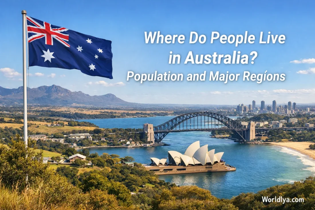
Australia looks huge on the map, yet its population does not spread out evenly. Most people live in a fairly tight set of coastal and near-coastal zones, with the heaviest concentration on the east and southeast. By the end of 2024, Australia had about 27.4 million people. By mid-2025, around 18.75 million lived in the eight capital city regions, which works out to close to 68% of the country. If you want the simple picture, this is it: Australians mostly live in big metro regions, especially along the east, southeast, and southwest edges of the continent.
The Short Map Answer
- The east and southeast hold the biggest share of the population.
- Sydney, Melbourne, Brisbane, and Perth are the largest population magnets.
- New South Wales, Victoria, and Queensland together account for roughly 77% of the national population.
- Regional Australia matters a lot, but the population there is more spread out across coastal towns, inland service centres, and smaller cities.
- The interior is not empty, though it is much more lightly settled than the coastal rim.
Why Australia’s Population Clusters on the Coasts
This pattern makes sense once you look at how Australian cities grew. Coastal areas offered ports, easier transport links, and room for major urban centres to expand. Over time, jobs, universities, airports, hospitals, business districts, and large suburban belts gathered around those same places. People tend to follow opportunity, and in Australia that has usually meant the big city regions and the coastal corridors around them.
Climate and geography play a part too. Many coastal belts have more reliable water access, milder seasonal patterns, and stronger transport connections than the deep interior. That does not mean inland Australia lacks communities. It means settlement is more scattered, with towns and regional hubs separated by longer distances. Think of the population map like a bright border around a very large continent, with the strongest glow on the east and southeast.
What Really Shapes the Pattern
- Large metro jobs pull people toward capital cities.
- Transport networks are strongest around major urban regions.
- Coastal living connects people to ports, beaches, services, and dense suburbs.
- Regional growth often happens just outside capitals, not far away from them.
- Distance matters more in Australia than many first-time readers expect.
Australia’s Population by State and Territory
A state-by-state view makes the pattern even clearer. New South Wales, Victoria, and Queensland dominate the national picture. Western Australia is also heavily concentrated, though much of that state’s population sits around Perth rather than being spread evenly across its huge land area.
| State or Territory | Population | Share of Australia | Main Population Focus |
|---|---|---|---|
| New South Wales | 8.55 million | 31.2% | Greater Sydney and the coastal belt around it |
| Victoria | 7.01 million | 25.6% | Greater Melbourne and south-central Victoria |
| Queensland | 5.62 million | 20.5% | South East Queensland, especially Greater Brisbane |
| Western Australia | 3.01 million | 11.0% | Perth and the southwest corner |
| South Australia | 1.89 million | 6.9% | Greater Adelaide and nearby districts |
| Tasmania | 575,800 | 2.1% | Hobart, Launceston, and northern coastal cities |
| Australian Capital Territory | 481,700 | 1.8% | Canberra |
| Northern Territory | 262,200 | 1.0% | Darwin, Alice Springs, and smaller centres |
Useful way to read this table: the first three states alone hold the vast bulk of the country’s population, while Western Australia is the clearest example of a very large state with a very city-focused population pattern.
Capital Cities Hold the Largest Share
Australia’s capital city regions are where the population story becomes unmistakable. By June 2025, the eight capital regions together had about 18.75 million people, while regional Australia had about 8.86 million. That split is one of the easiest ways to understand the country. The capitals are the main population engines. Regional areas still matter deeply, but they do not carry the same weight in total numbers.
Capital City Regions
18.75M
Roughly 68% of the national population by mid-2025.
Regional Australia
8.86M
About 32% of the total, spread across a very large land area.
Major Cities View
73%
A recent national profile also shows about three-quarters of Australians living in major cities.
One small detail helps here. “Capital city region” and “major cities” are not exactly the same statistical label, but both tell the same story: Australia is a highly urban country, and its biggest population masses sit in and around its large metro areas.
Where the Biggest City Regions Are
| Rank | Capital Region | Population | What It Tells You |
|---|---|---|---|
| 1 | Sydney | 5.64 million | The country’s largest metro region, anchoring New South Wales. |
| 2 | Melbourne | 5.44 million | Very close to Sydney in size and still growing fast. |
| 3 | Brisbane | 2.83 million | The core of South East Queensland’s population belt. |
| 4 | Perth | 2.45 million | A powerful west-coast population hub with a large state footprint. |
| 5 | Adelaide | 1.49 million | South Australia’s main population centre by a wide margin. |
| 6 | Canberra | 484,630 | A compact but sizeable urban region in the southeast. |
| 7 | Hobart | 255,250 | Tasmania’s leading metro area. |
| 8 | Darwin | 159,284 | Northern Australia’s main capital-city hub. |
Australia’s Main Population Regions
East and Southeast Arc
If you had to circle one broad zone on the map, this would be it. The east and southeast arc runs through South East Queensland, Sydney, the wider southeast, Canberra, and Melbourne, then into the surrounding regional belts. This is the country’s most crowded and most connected population corridor. It includes several of Australia’s largest metro regions and many of its best-known regional cities.
- Greater Sydney and its outer growth areas
- Newcastle and Wollongong in coastal New South Wales
- Canberra in the southeast interior
- Greater Melbourne and nearby Victorian growth corridors
- Regional centres such as Geelong, Ballarat, and Bendigo
South East Queensland
South East Queensland deserves its own section because it functions like a large linked population zone rather than a single isolated city. Greater Brisbane is the anchor, but the wider belt also includes the Gold Coast, Sunshine Coast, Ipswich, Logan, and Moreton Bay. This region has been adding people steadily and remains one of the clearest examples of suburban and corridor growth in Australia.
Southwestern Western Australia
Western Australia covers a vast area, but the population pattern is strongly focused on Perth and the southwest. Perth is easily the dominant urban centre. Around it, the broader southwest holds other communities and regional towns, yet the metro region still carries the main population weight by a very wide margin.
Adelaide and Southern South Australia
South Australia has a clear population heart: Adelaide. The capital and its outer suburbs hold most of the state’s people, with nearby districts such as the Adelaide Hills adding to the broader urban sphere. Once you move farther out, settlement becomes much more spread out.
Tasmania’s Southeast and Northern Cities
Tasmania’s population is smaller than that of the mainland states, but it still has clear centres. Hobart leads, while Launceston and the northern coastal cities remain important population anchors. In other words, Tasmania is not one single-city island, yet the southeast still carries the strongest urban pull.
Northern Australia
Northern Australia has well-known urban centres, though the overall population is much smaller than in the southeast and southwest. Darwin is the leading capital-city hub in the north, while Alice Springs and other centres play regional roles across large distances. This part of the map reminds readers that Australia does have communities across the continent, even if the population density is much lower away from the main coastal belts.
A Good Mental Map
If you picture Australia as a continent where the southeast is busiest, the east is heavily urban, Perth dominates the west, and the interior is lightly settled, you are already very close to the truth.
Where Growth Is Happening Right Now
Recent growth patterns show a familiar trend: many of the fastest-growing areas sit on the outer edges of major cities or just beyond them. That tells you something useful. Australia is not only growing in its CBDs. It is also expanding through fringe suburbs, connected corridors, and nearby regional districts.
- Melbourne’s outer west and north kept posting large gains, including Rockbank – Mount Cottrell, Fraser Rise – Plumpton, and Mickleham – Yuroke.
- Sydney’s outer northwest and southwest also grew strongly, with places such as Box Hill – Nelson and Austral – Greendale standing out.
- South East Queensland remained active, especially in Ripley, the Sunshine Coast growth belt, and the Logan area.
- Perth’s outer fringe continued to add residents, with Alkimos – Eglinton and Brabham – Henley Brook among the stronger growth areas.
- Outside the capitals, Caloundra West – Baringa on the Sunshine Coast was one of the clearest examples of strong regional growth.
What This Means for Anyone Reading the Map
- If you are thinking about where everyday urban life is most concentrated, start with Sydney, Melbourne, Brisbane, and Perth.
- If you want to understand regional population strength, look at the belts around the capitals, not just faraway inland towns.
- If you are comparing the states, remember that state size and population size are not the same thing.
- If you want the broad national story in one sentence, it is this: Australia is a large continent with a strongly urban, coastal population pattern.
Common Questions About Where People Live in Australia
Do Most Australians Live Near the Coast?
Yes. Not every resident lives right on the shoreline, but the country’s population is heavily concentrated in coastal and near-coastal metro regions. The east, southeast, and southwest are the clearest examples.
Which Part of Australia Has the Most People?
The heaviest concentration sits in the east and southeast, especially across the Sydney, Melbourne, Brisbane, and surrounding regional corridors. Those linked regions carry the biggest share of the national population.
Is Inland Australia Empty?
No. Inland Australia has towns, regional cities, and important service hubs. The better way to say it is that inland settlement is far more spread out than settlement in the coastal metro belts.
Which Capital Cities Are Growing Fast?
Recent ABS figures show strong growth in Perth, Brisbane, and Melbourne, with many fast-growing pockets on the outer suburban fringe.
Sources
- Australian Bureau of Statistics — National, State and Territory Population, December 2024
- Australian Bureau of Statistics — Regional Population, 2024–25 Financial Year
- Australian Bureau of Statistics — Location: Census, 2021
- Australian Institute of Health and Welfare — Profile of Australia’s Population
- Centre for Population — Regional Population, 2024–25