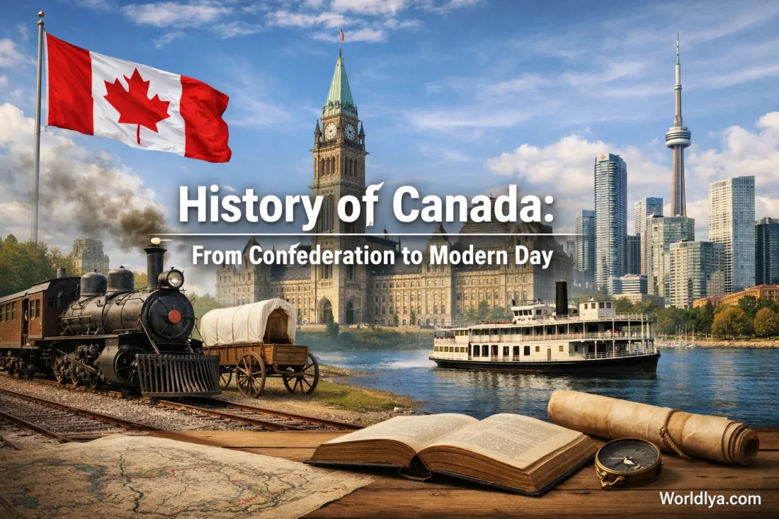
A Big Story In A Big Land
Canada’s modern history is like a long scenic train ride: you don’t just “arrive.” You watch landscapes change, towns appear, cultures mix, and traditions settle in like warm light through a window. If you’ve ever wondered how a country can feel so wide, so varied, and still feel connected—this timeline will make it click.
Imagine opening a map and watching Canada “assemble” piece by piece—coastlines, prairies, islands, and the North coming into focus over time. That’s the story from Confederation to today: a steady build of connections—people, routes, symbols, cities, and shared moments. Let’s walk through it in a way that’s easy to picture (and honestly, kind of fun).
A Quick Timeline You Can Read In One Minute
Tip: Scan the years first, then read the notes that feel most interesting. Treat it like a menu—pick what you want.
| Year | What Changed | Why It Mattered (In Plain English) |
|---|---|---|
| 1867 | Confederation begins with four provinces. | A common system of government is established, allowing the provinces to work together while preserving their local identity. |
| 1870 | Manitoba becomes a province; the West starts to take a clearer shape. | The map expands, and a new central region begins to grow into a major crossroads. |
| 1871 | British Columbia joins. | Now the “coast-to-coast” idea feels real—not just a dream on paper. |
| 1873 | Prince Edward Island joins. | The Atlantic region becomes more tightly connected within the federation. |
| 1885 | The Canadian Pacific Railway reaches completion (the famous “Last Spike”). | A country this large needs “stitches”—rail lines helped tie far-apart places together. |
| 1898 | Yukon becomes a separate territory. | The North gains clearer administration and identity as communities grow. |
| 1905 | Alberta and Saskatchewan become provinces. | Canada’s Prairie region becomes a defined powerhouse of farms, towns, and wide-open horizons. |
| 1949 | Newfoundland joins (now Newfoundland and Labrador). | The Atlantic side gains a new province with a strong seafaring culture and distinct identity. |
| 1962 | The Trans-Canada Highway is officially opened. | Road travel becomes a true “across the country” experience—one long ribbon of possibility. |
| 1965 | The modern Maple Leaf flag is first raised. | A simple symbol becomes a shared visual “hello” for a diverse country. |
| 1999 | Nunavut is created as a new territory. | Canada’s map changes in a major way, reflecting the North’s unique communities and cultures. |
| Today | 10 provinces and 3 territories, with over 41 million people. | Canada’s modern identity is a blend of regions—like a playlist where every track still fits. |
Confederation In 1867: The Starting Line
On July 1, 1867, Canada begins its modern chapter as a federation. The first four provinces were Ontario, Quebec, Nova Scotia, and New Brunswick. Think of it like a band forming: each member keeps their own style, but they agree on a shared rhythm so they can play together.
What this means for you as a reader: After 1867, Canada’s story becomes easier to follow because key milestones often look like map changes, transport links, and shared symbols—things you can actually picture.
Coast To Coast: How The Map Filled In
Canada didn’t become “complete” overnight. It grew by welcoming new provinces and organizing territories as communities developed. If you like structure, this is the satisfying part—like watching puzzle pieces click into place.
Provinces Added After 1867
- 1870: Manitoba
- 1871: British Columbia
- 1873: Prince Edward Island
- 1905: Alberta and Saskatchewan
- 1949: Newfoundland (now Newfoundland and Labrador)
Territories That Shaped The North
- 1870: The Northwest Territories takes shape as a vast northern region.
- 1898: Yukon becomes a separate territory.
- 1999: Nunavut is created as Canada’s newest territory.
Ever notice how the North feels like “a world of its own”? These territory milestones help explain why. The geography is huge, the communities are distinct, and the identity is strong.
If you like visuals, an animated map is a quick way to “feel” the expansion without reading a textbook.
Railways And Highways: The Country’s “Stitches”
Canada is famously vast, so connections matter. Two milestones stand out because they changed everyday life in a way you can instantly understand: rail travel and road travel.
1885: The “Last Spike” Moment
In 1885, the Canadian Pacific Railway reaches completion—often remembered through the famous Last Spike story. Beyond the headlines, the big idea is simple: distance shrank. Goods, letters, and people could move across the country faster, and communities that felt remote suddenly had a stronger link to the rest of Canada.
1962: The Trans-Canada Highway Is Officially Opened
In 1962, the Trans-Canada Highway is officially opened (with continued work in later years). For travelers, this is huge. A road network makes the country feel like one long story you can drive through—mountains to prairies to forests to ocean views—like switching chapters without closing the book.
Culture, Cities, And Everyday Life: Where “Modern Canada” Shows Up
History isn’t only about dates. It’s also about how life feels in different eras—what people eat, how they travel, what they celebrate, and what they build. From the late 1800s onward, Canada’s cities expand, new neighborhoods form, and local traditions become national favorites.
A Country Of Regions (And That’s The Point)
- Atlantic Canada is known for coastal towns, music, and warm community vibes.
- Central Canada includes major urban hubs and a wide range of arts, cuisine, and festivals.
- The Prairies bring wide skies, agriculture, and tight-knit cities that surprise first-time visitors.
- The West Coast is famous for mountains meeting the sea and a strong outdoor lifestyle.
- The North offers powerful landscapes and cultures that are deeply rooted and proudly distinct.
A Simple Way To “Read” Canada
If you feel lost in the size, try this: picture Canada as a collection of local stories connected by big shared routes—rail lines, highways, airports, and waterways. The nation’s modern identity isn’t one single flavor. It’s more like a well-balanced buffet: different dishes, same table.
Mindset shift: Instead of asking “What is Canada like?”, try “Which part of Canada are we talking about?” The answer changes—and that’s the charm.
Symbols That Help A Huge Country Feel Familiar
When a country is big and diverse, symbols become emotional shortcuts. They’re like a shared chorus in a song—everyone can join in, even if their verse is different.
- The Maple Leaf flag is first raised in 1965 and becomes a widely recognized national symbol.
- National parks and protected places make the outdoors part of the national identity—something people share across regions.
- Seasonal traditions (winter sports, summer festivals, road trips) help define everyday culture.
A Tiny Detail That Says A Lot
Canada’s flag is striking because it’s simple. One leaf. Clean lines. Easy to draw. Easy to remember. In a way, it’s like a good logo: it works in a classroom, on a backpack, on a building, or on a tiny pin.
Modern Day Canada: A Snapshot You Can Use
Here’s the “today” view—fast facts that help you place everything you just read into the present.
The Basics
- 10 provinces and 3 territories
- Two official languages: English and French
- Population: An official estimate of 41,651,653 on July 1, 2025
- Landscape range: oceans, mountains, prairies, forests, and Arctic regions
A Practical Way To Explore The History
If you want the history to feel real, pair a time period with a place:
- 1867 vibes: Historic districts and museums in older eastern cities
- 1885 railway era: rail routes, heritage stations, and mountain passes
- 1960s road era: plan a “sections” road trip instead of one giant drive
- 1999 North map era: learn about Nunavut through cultural centers and trusted public resources
A Friendly “Keep Reading” Checklist
Want to stay oriented as you read deeper? Use this quick checklist. It’s simple, but it works.
- Start with the map: which province or territory are you curious about?
- Find the join date: when did it become part of modern Canada?
- Look for the connection: railway, highway, port, or a major city link.
- Spot the symbol: flag, parks, festivals, or iconic local landmarks.
- End with today: what does that place feel like now (culture, nature, food, events)?
Quick payoff: This method turns “random facts” into a story you can actually remember. And when you remember it, Canada’s timeline stops feeling huge and starts feeling human.
Quick FAQs
Why Is 1867 Such A Big Deal?
This marks the beginning of modern Canada as we know it. From there, the country’s growth can be traced through the creation of new provinces, the organization of territories, and the expansion of transport links that connected communities.
Did Canada Always Have 10 Provinces And 3 Territories?
No. Canada started with four provinces in 1867, and the map filled in over time. The most recent major change is Nunavut becoming a territory in 1999.
What’s The Easiest Way To Memorize The Expansion?
Use the “chain” method: 1867 (start), 1870 (Manitoba), 1871 (British Columbia), 1873 (Prince Edward Island), 1905 (Alberta & Saskatchewan), 1949 (Newfoundland), 1999 (Nunavut).
What Connects The Regions Best: Rail Or Road?
Both, at different times. The railway milestone in 1885 helps explain early long-distance connection, while the highway opening in 1962 helps explain the rise of modern road travel across the country.
What Should I Read Next If I Want More Detail?
Pick one theme: map changes, transportation, or symbols. Then follow it decade by decade. It’s easier than trying to absorb everything at once.
Sources
- Government of Canada – The Creation of Canada (overview of key milestones)
- Statistics Canada – Canada’s Population Estimates (includes the July 1, 2025 estimate)
- Parks Canada – Completion of the Canadian Pacific Railway (national historic event)
- Transport Canada – Trans-Canada Highway Backgrounder
- Canadian Heritage – National Flag of Canada Day (Maple Leaf flag history)
- Government of Canada – Nunavut (territory creation details)
- University of British Columbia Library – Chung Collection (CPR and the “Last Spike” overview)
More from Canada Guide
- Transportation in Canada: Public Transit and City Travel
- Canada Government Structure: A Simple Overview
- Famous Canadian Inventions That Changed the World
- Travel Safety in Canada: Tips for International Visitors
- Winter in Canada: Best Activities and Experiences
- Annual Festivals in Canada: From Jazz to Winter Carnivals